Printed Maps of Lancashire: the first two hundred years, by Ian Saunders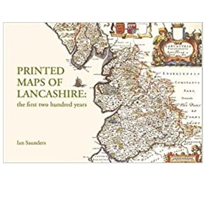 DescriptionThis beautifully-illustrated book is packed with information about the physical creation of maps from the mid-sixteenth to late eighteenth centuries. It encompasses the entire historic County Palatine of Lancaster, which stretched from the southern Lake District to modern Cheshire, taking in both Manchester and Liverpool. Harold Whitaker's seminal work A Descriptive List of the Printed Maps of Lancashire 1577-1900 (Chetham Society, 1938) is fully updated through the text and appendices. https://www.lancaster.ac.uk/regional-heritage-centre/publications/ Printed Maps of Lancashire - Standard PricePrinted Maps of Lancashire - Friends of the RHC discountRecently Added |